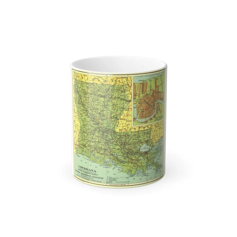
USA - Louisiana (1930) (Map) This product represents a historical map of the U.S. state of Louisiana, dating back to 1930. The map provides geographical details such as cities, towns, rivers, counties, and other topographical features prevalent during that era. It serves as a valuable resource for historians, researchers, cartographers, and those with an interest in the historical geography of Louisiana or the United States in general.
Express delivery and return policies
Free shipping on orders over $30
Processing time: 1-2 Days
Shipping time: 3-5 Days(According to the logistics method and delivery address)
Items can be returned or exchanged within 30 days !